SABAH BIODIVERSITY CENTREOFFICIAL WEBSITE"Sabah Maju Jaya"
SABAH BIODIVERSITY CENTREOFFICIAL WEBSITE"Sabah Maju Jaya"
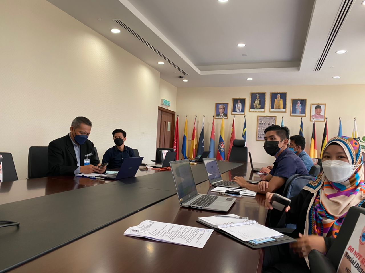
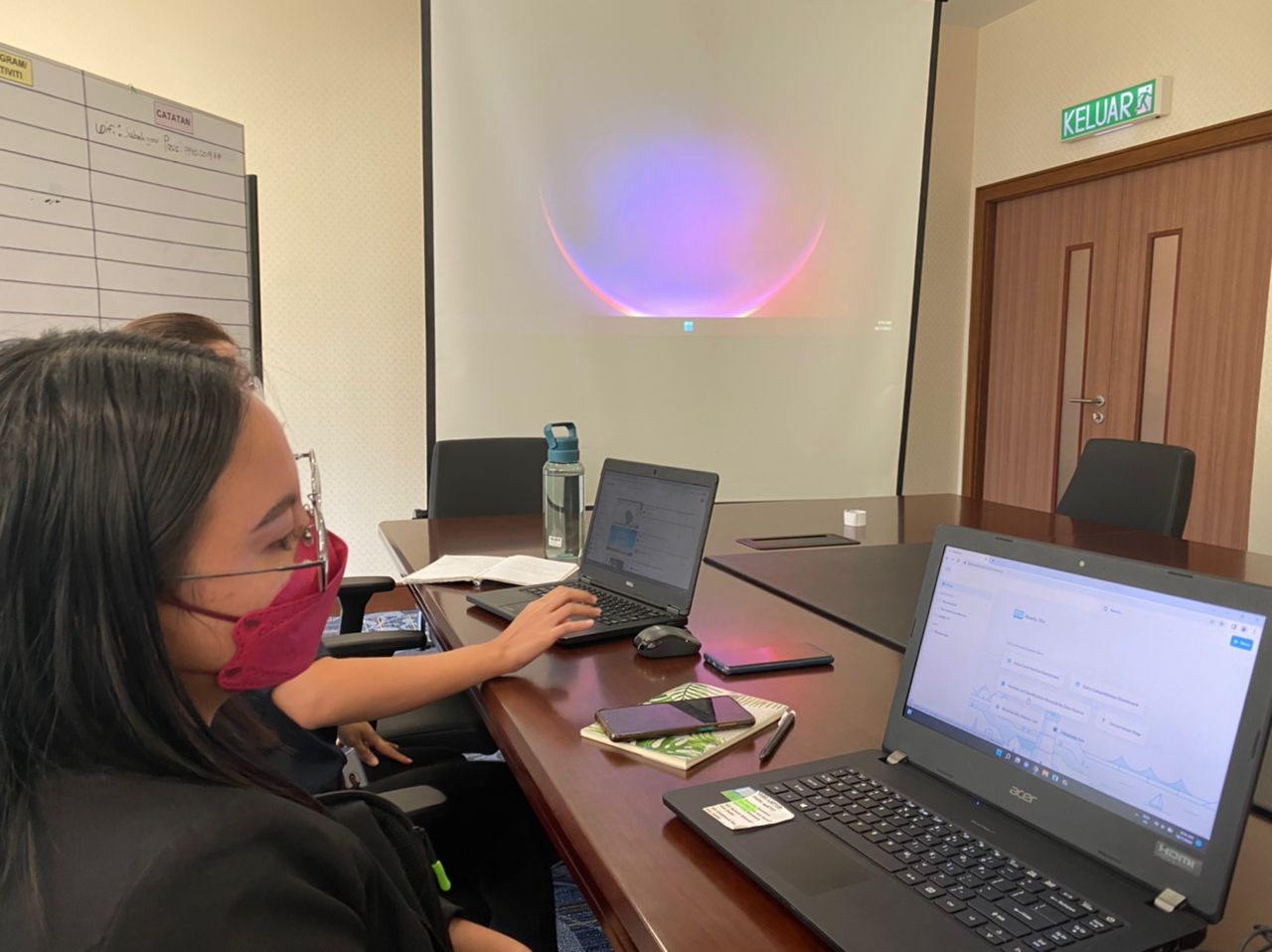
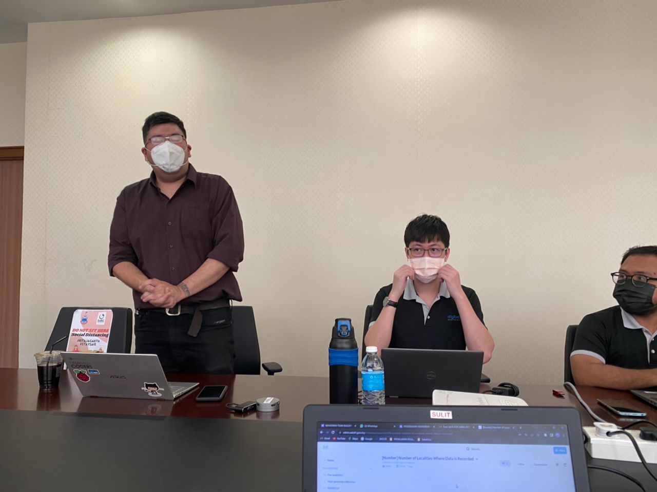
2nd Training on Geospatial Data Primer with QGIS under Sabah Biodiversity Atlas project
QGIS is an application used for analysis of geospatial data. This is a a second training organised by SabahNet for all SaBIIS's data contributor on this topic. The training was organised at SaBC's office.